


In addition to terrestrial, marine, aerial navigation, NavIC is also being used for military operations, disaster management, geodesy, resource monitoring and more.
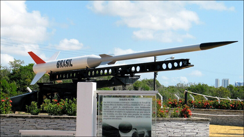
It’s been exactly 60 years since India started its journey into outer space. It was November 21st, 1963 when India launched its first rocket, an American rocket called The Nike Apache which was taken to its launch site on a bullock cart before being successfully launched 207 Kilometres into the atmosphere.
Fast forward to August 23rd, 2023, India becomes the first country to land a vehicle on the south pole of the moon and it’s pretty clear that ISRO scientists have come a very long way. They also achieved this feat on a smaller budget than your typical Hollywood movie about space.
While there’s no doubt that Chandrayaan 3 has been hogging the limelight since its launch (and rightfully so), headlines involving India’s satellite navigation system seem to be slipping by unnoticed.
Self-reliant India
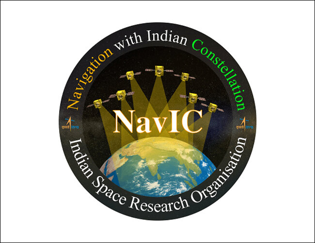
Formerly known as IRNSS, or Indian Regional Navigation Satellite System, NavIC is short for Navigation with Indian Constellation. The constellation being referred to here is a constellation of seven satellites that are already in geosynchronous and geostationary orbit. This means a circular orbit that takes the exact same time as one earth rotation, 23 hours and 56 minutes.
The IRNSS project was approved in May 2006, in part due to America rejecting India’s request for GPS data during the Kargil War of 1999. Ukraine also learned this lesson the hard way when Elon Musk denied its Starlink request during the current war. Since depending on foreign allies during hostile times doesn’t come with any guarantees, there has been a concerted push for an Aatmanirbhar Bharat (Self-reliant India).
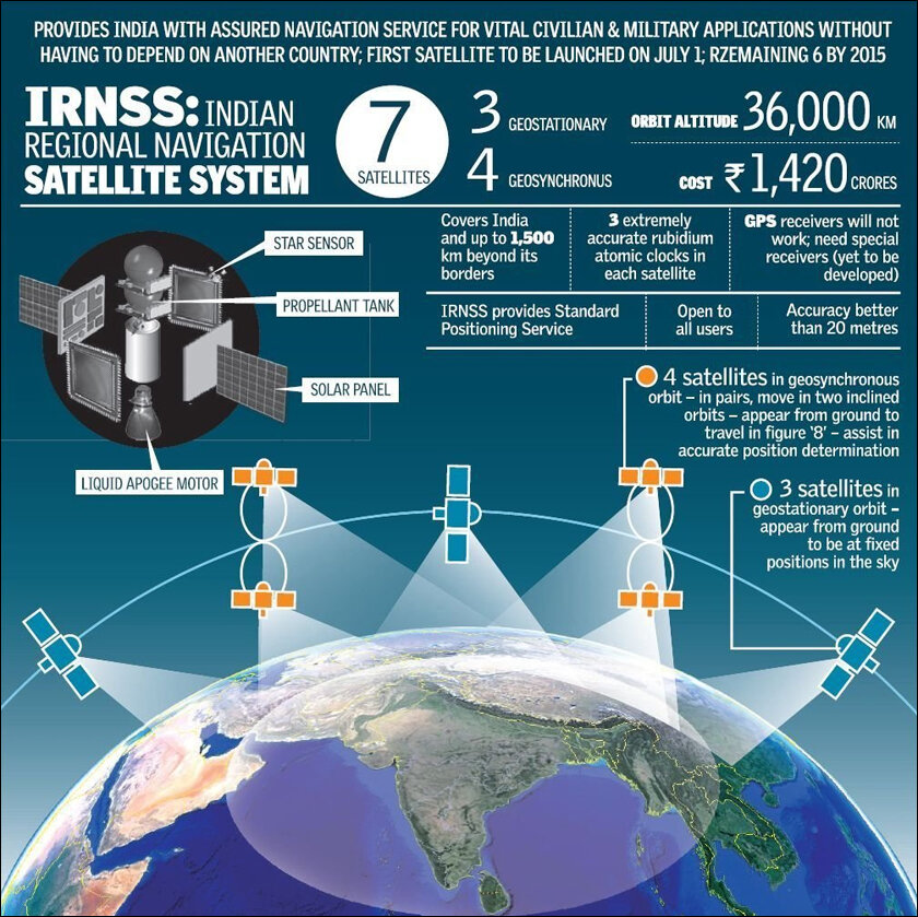
The seven satellites that make up the NavIC constellation cost about 1.5 billion INR ($19 million) each. These satellites are also supported by a network of about 21 ground stations that cost about 3 billion INR in total($38 million) and operate around the clock to ensure uninterrupted services. In addition to boasting a positional accuracy of up to 3 metres anywhere in India, (depending on the signal strength and satellite availability), this constellation of satellites also covers about 1,500 kilometres outside India’s boundaries including the Indian Ocean, Central Asia, and the Middle East. NavIC has 2 service modes, a Standard Position Service (SPS) for civilians, and a restricted service (RS) for “strategic” users.
NavIC vs GPS
Now apart from NavIC, there are five other global satellite navigation systems, GPS from the United States, Russia’s GLONASS, The European Union’s Galileo, China’s BeiDou, and Japan’s QZSS. In terms of sheer number of satellites, China leads the way with 44, The United States with 31, The EU with 28, Russia with 21, and Japan with 4.
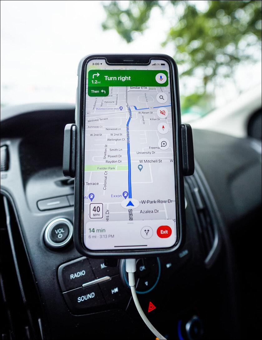
While Navic may have some catching up to do, what it lacks in numbers it more than makes up for in terms of accuracy across the Indian Subcontinent. Compared to GPS which is accurate to about 5 metres, NavIC is accurate to 3. Additionally, India passed a law in April 2019 making it compulsory for all commercial vehicles to use NavIC-based vehicle tracking systems.

There has also been a steady push from the central government to ensure all new cell phones are compatible with NavIC. As of September 2023, it is mandatory that all 5G smartphones be compatible with NavIC by the 1st of January 2025. This means actual hardware changes to phones since specific chipsets are required to decode the NavIC signal.
While Qualcomm has been producing the chipsets that go in NavIC-compatible phones up until now, going forward the chipsets will be designed and manufactured in India. This is being done in a partnership between two ministries of the government, (Science & Technology, and Electronics & IT) and a Hyderabad-based startup called Manjeera Digital Systems that specialises in high-end computer architecture. What this startup brings to the table is an indigenous high-performing computer processor called UMA.

NavIC on the iPhone
Nothing really spells legitimacy like your technology being used in an Apple product, and with Apple’s endorsement via NavIC-powered chipsets in the iPhone 15 Pro and Pro Max, it seems like a significant milestone has been achieved.
To quote Minister of State for Electronics and IT, Rajeev Chandrasekhar, “After the successful missions of Chandrayaan-3 and Aditya-L1, we have reached another big milestone with ISRO’s NavIC technology.” In addition to terrestrial, marine, and aerial navigation, NavIC is also being used for military operations, disaster management, geodesy (study of the shape of places on Earth), resource monitoring, as well as personal mobility.
NavIC signals are also interoperable with the other global navigation systems we mentioned earlier, and with ISRO’s plan to increase the number of satellites from 7 to 12, it looks like there are only good things to come for India’s Aatmanirbhar GPS.
In case you missed:
- India’s Starlink Moment is Finally Here: Green Light from The Government!
- ISRO’s Next Big Plan: To Put Indian Data Centres in Space!
- India’s Mappls Revolution: The Swadeshi Push to Dethrone Google Maps
- Tesla’s India Launch: It’s not about the Model Y, it’s about the AI!
- India’s first Aatmanirbhar Chip Fab: TATA leads the way!
- Aatmanirbhar Push: India Becomes 7th Nation to Crack Gallium Nitride Chip Technology
- India Brings AI to Its Aatmanirbhar Weather Forecasting
- Age of Bhaarat: India’s Aatmanirbhar Leap into AAA MMORPG Gaming
- No Internet, No Cloud: India’s ‘BharatGPT’ Is Taking a Different AI Path
- Quantum War Tech: DRDO and IIT help India take the lead!


